Farm Smarter: High Resolution Farm Maps for Your Office Wall
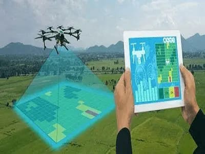
Farm Smarter: High Resolution Farm Maps for Your Office Wall Outdated satellite images and guesswork are costing you thousands. Get centimetre-accurate drone maps that give you the edge in planning, compliance, and profit. Pinpoint Accuracy Satellite maps are years old and blurry. Our drones deliver up-to-date, centimetre-level detail, so you know exactly what’s happening on […]