Farm Smarter: High Resolution Farm Maps for Your Office Wall
Outdated satellite images and guesswork are costing you thousands. Get centimetre-accurate drone maps that give you the edge in planning, compliance, and profit.
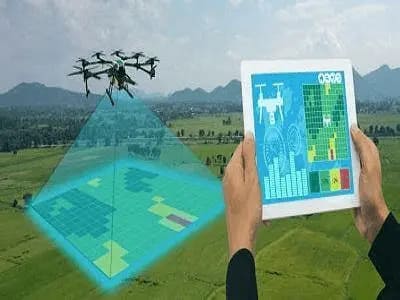
Pinpoint Accuracy
Satellite maps are years old and blurry. Our drones deliver up-to-date, centimetre-level detail, so you know exactly what’s happening on your land.
Save Time & Cash
Stop wasting hours on manual surveys or bad decisions from outdated data. Our maps streamline planning and compliance, saving you thousands.
Customised for You
Want a contour map, aerial image, or simplified layout? We tailor your map to suit your farm’s needs, no fluff, no nonsense.
How It Works
1. Contact Us
Hit us up for a free quote. Tell us about your farm and what you need.
2. We Fly
Our drones capture high-res imagery and data, covering every inch of your land.
3. Get Your Map
We process the data into a tailored map—contour, aerial, or simplified, your choice.
4. Win Farming
Use your map for better planning, compliance, and decisions that boost your profit.